"Cascades - Wednesday, June 26, 2024
Well, we finally made it to Stehekin.
As I alluded to in my previous post, this year has been more snowy than usual. On our first foray into the Cascades, snow covered most of the trail anywhere above 5000 feet. This ended up being most of the trail. We though we could maybe face less of this by head south but we were majorly wrong.
Snow makes travel slower and more exhausting. If you haven’t walked across snow it’s not fun. It’s like walking on a bowl of mashed potatoes and your shoes end up soaked by the end of the day. I’d also say every twenty or so steps we would posthole into the snow up to are thigh or so. Scott had a bad one where he was all the up to his waist.
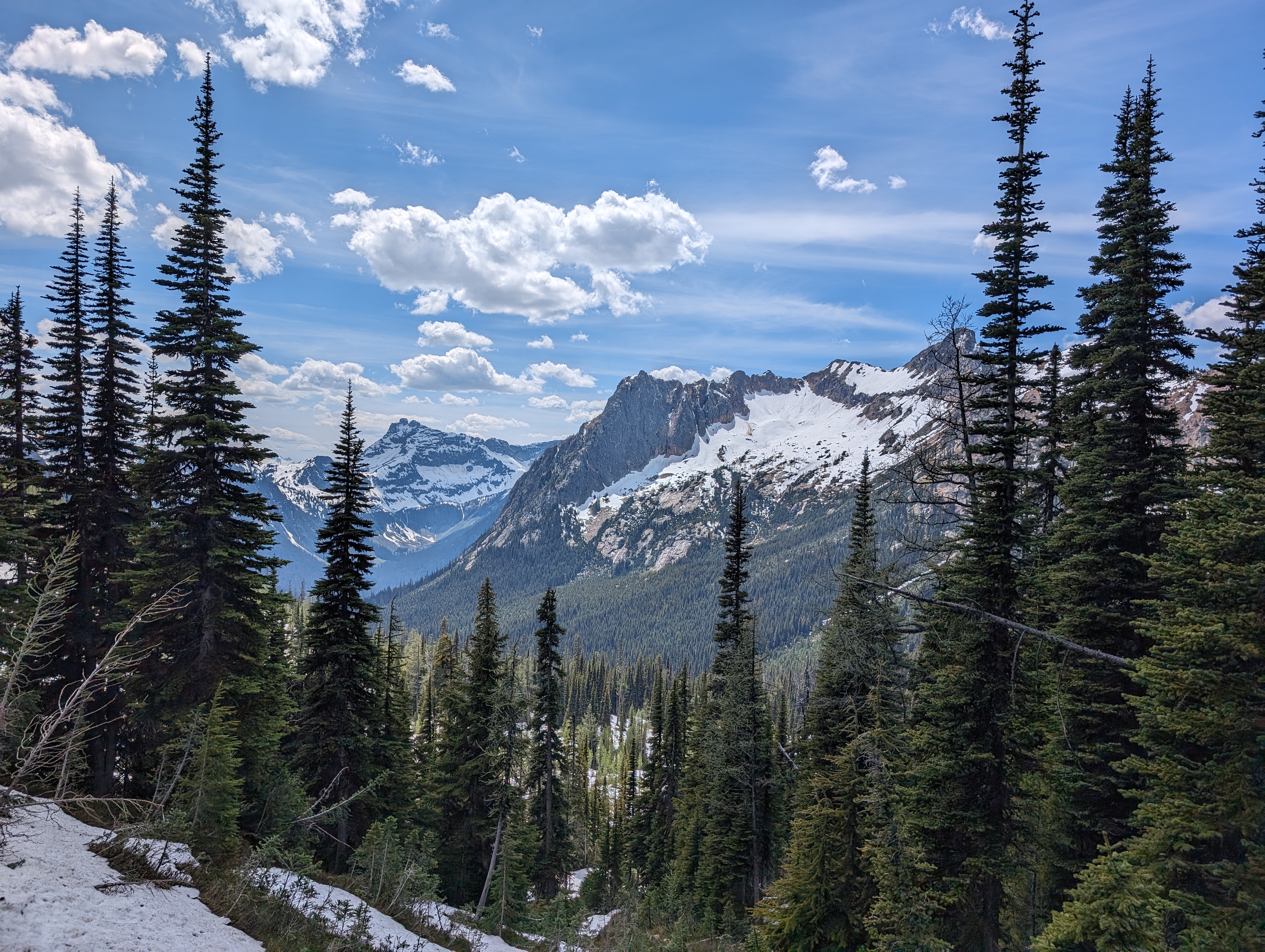
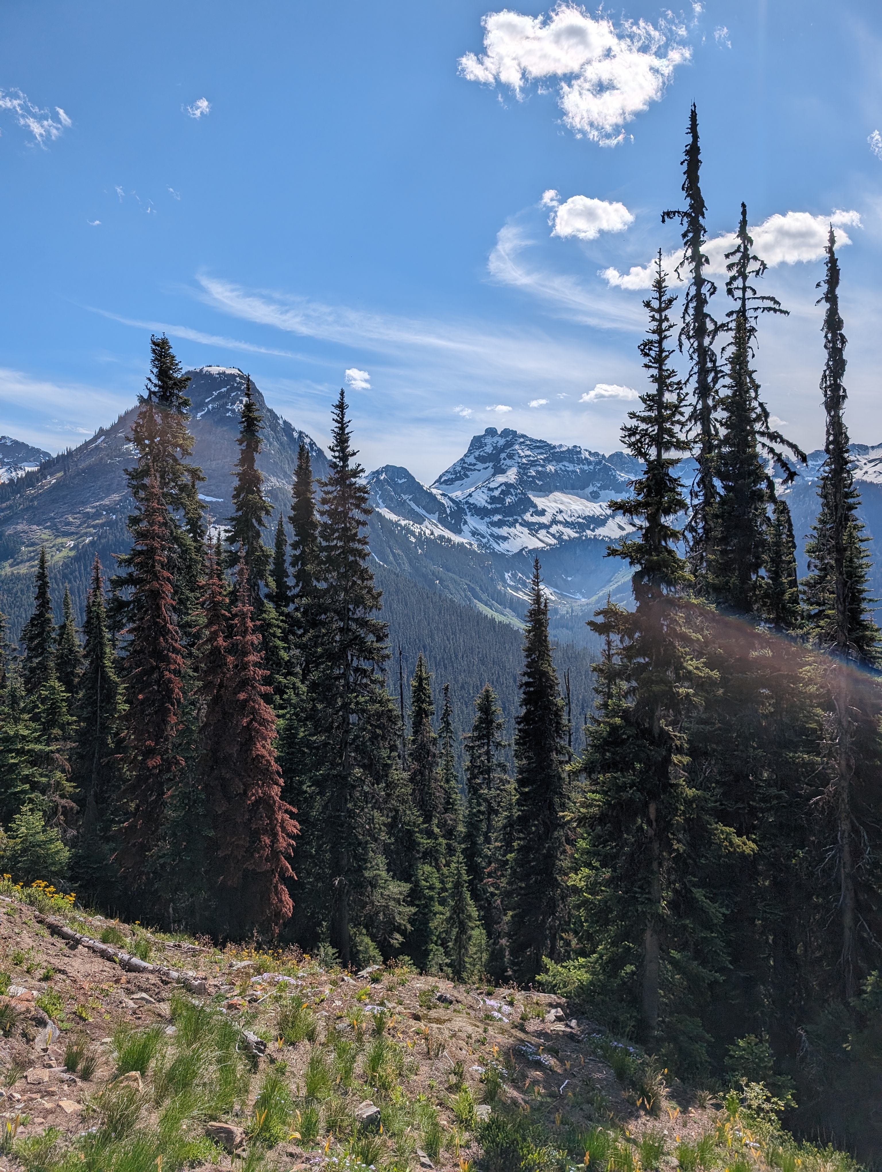
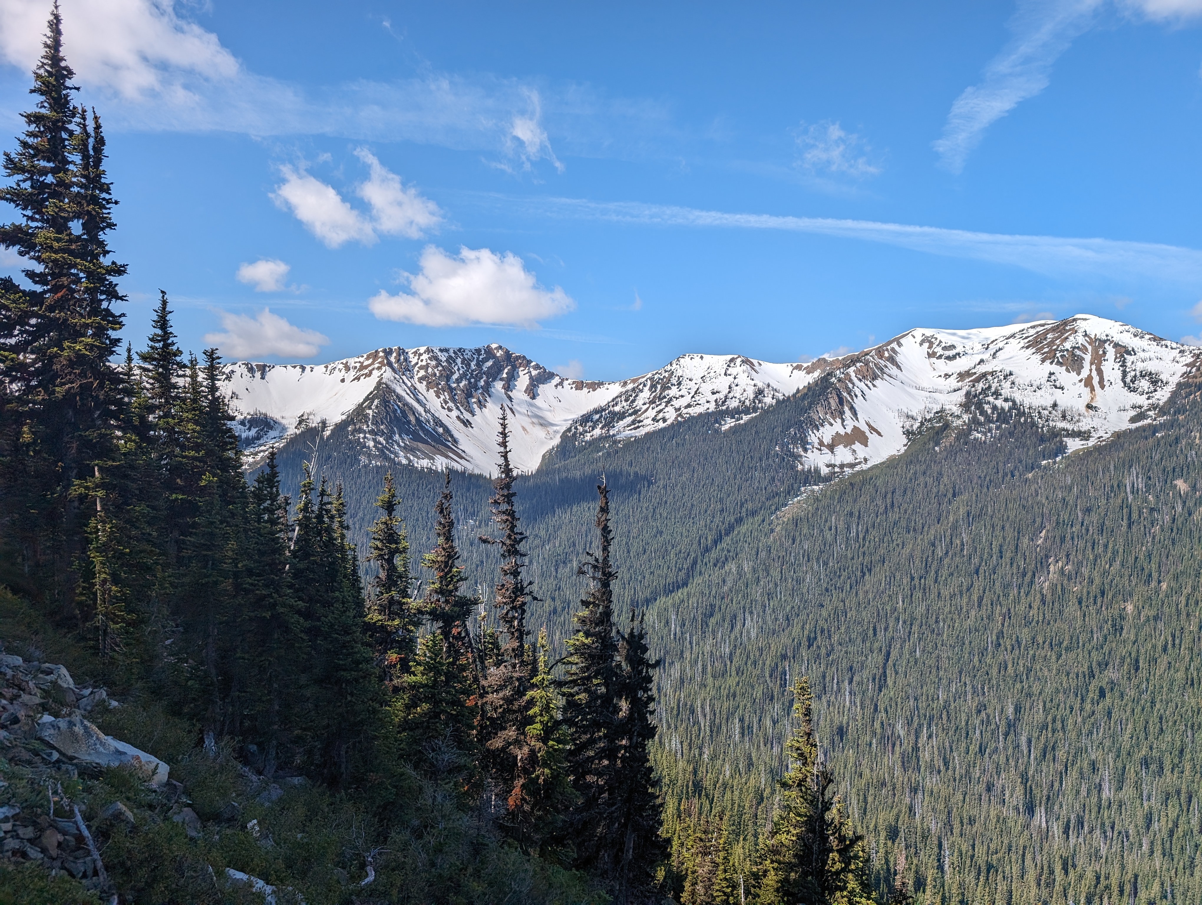
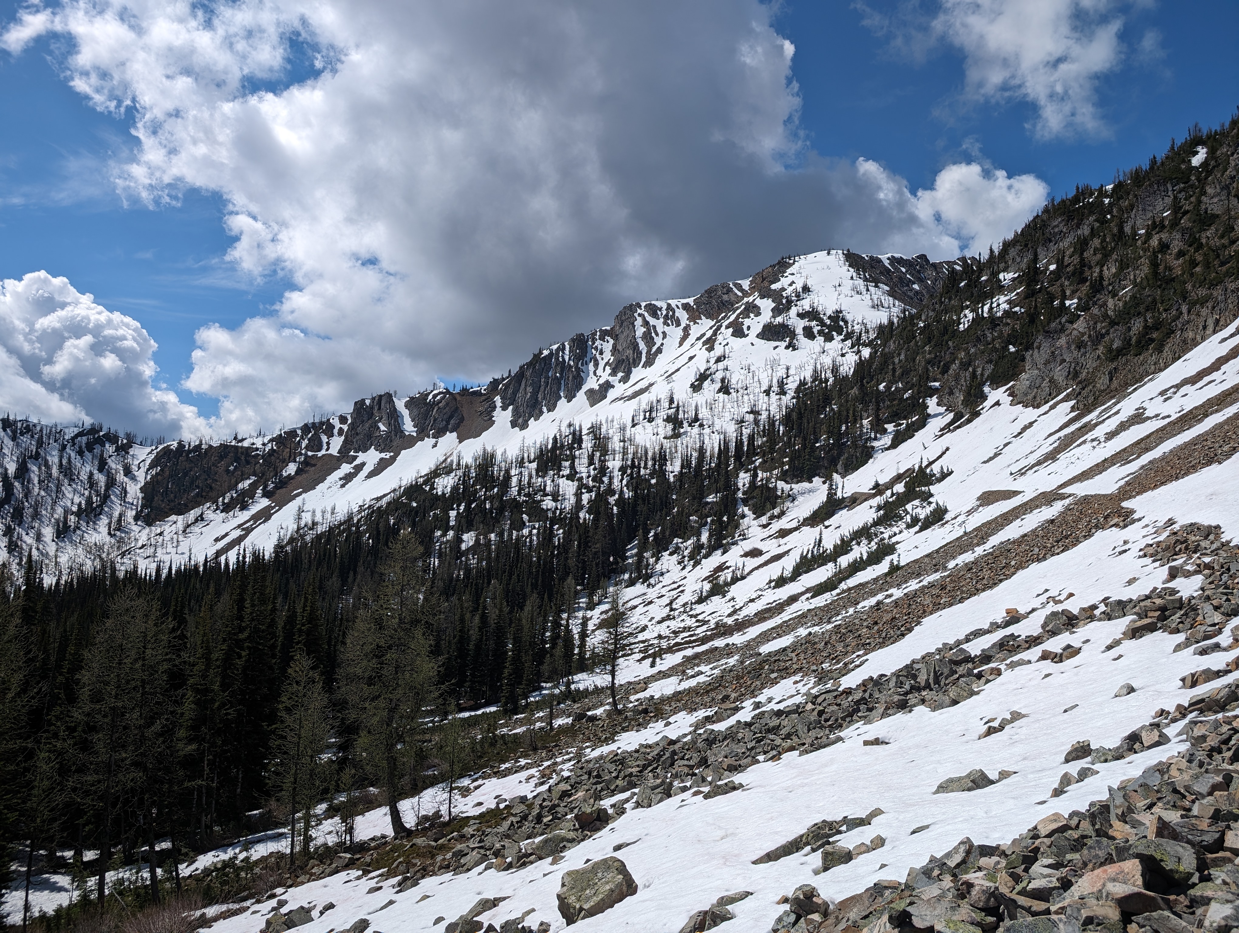
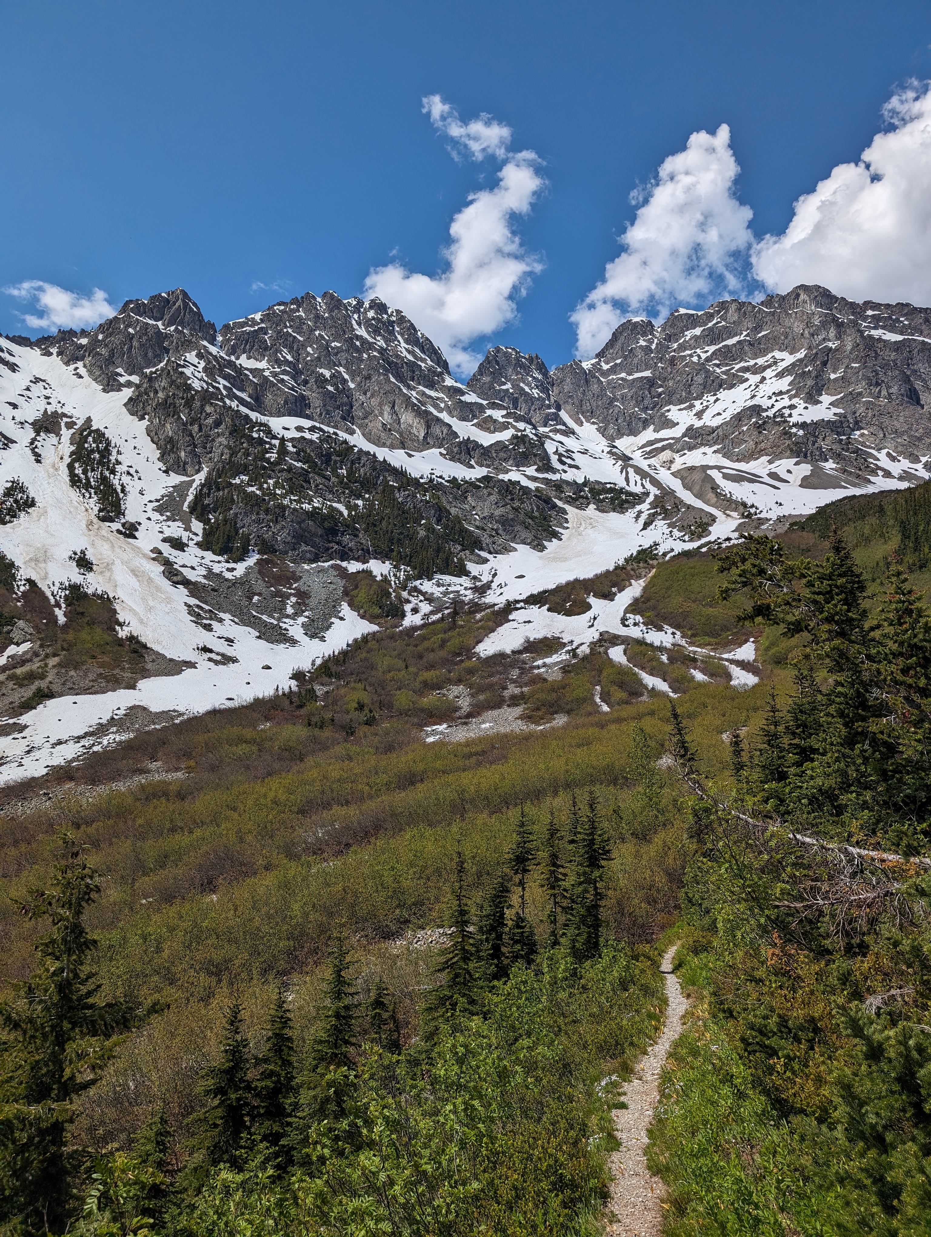
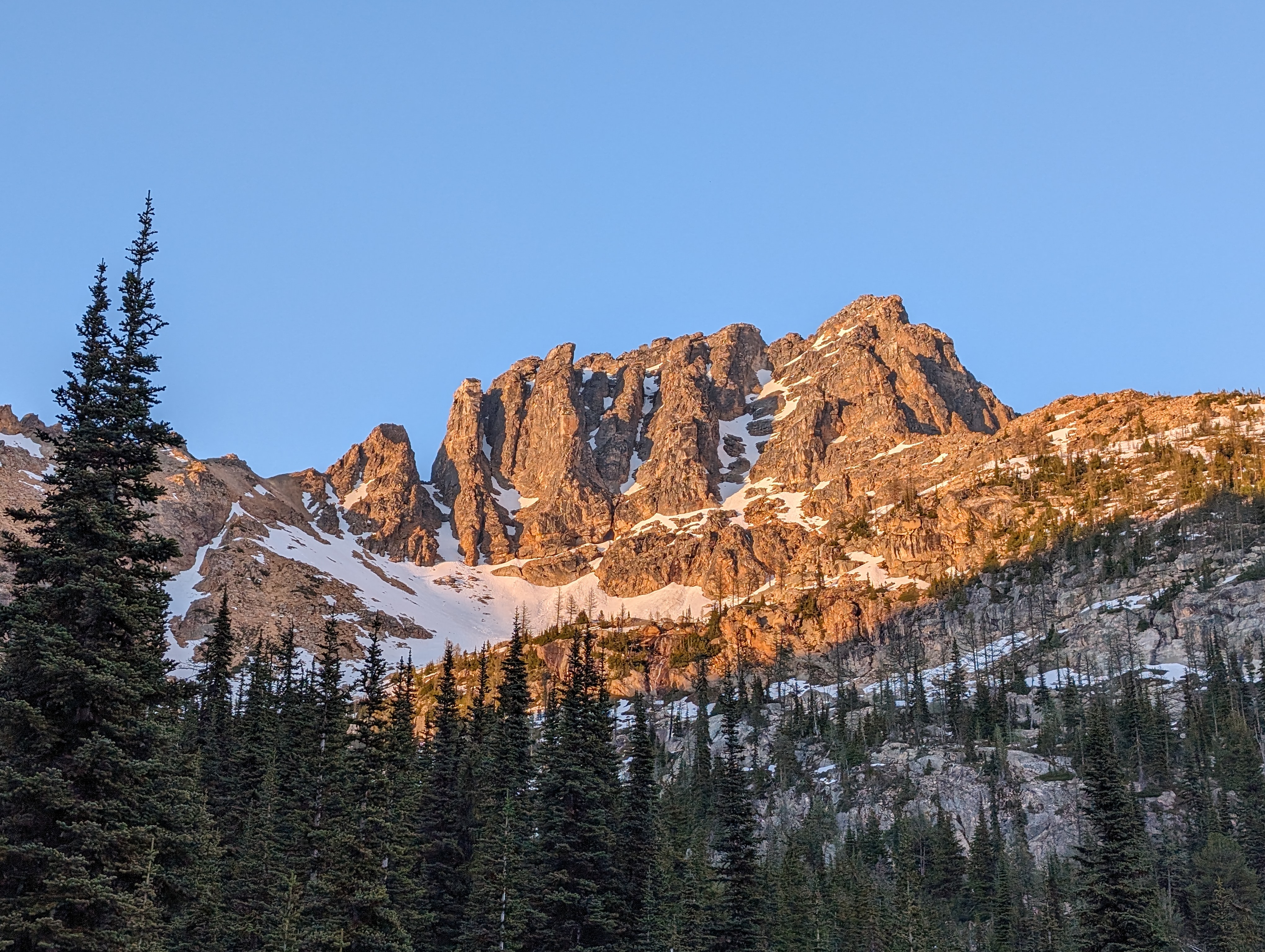
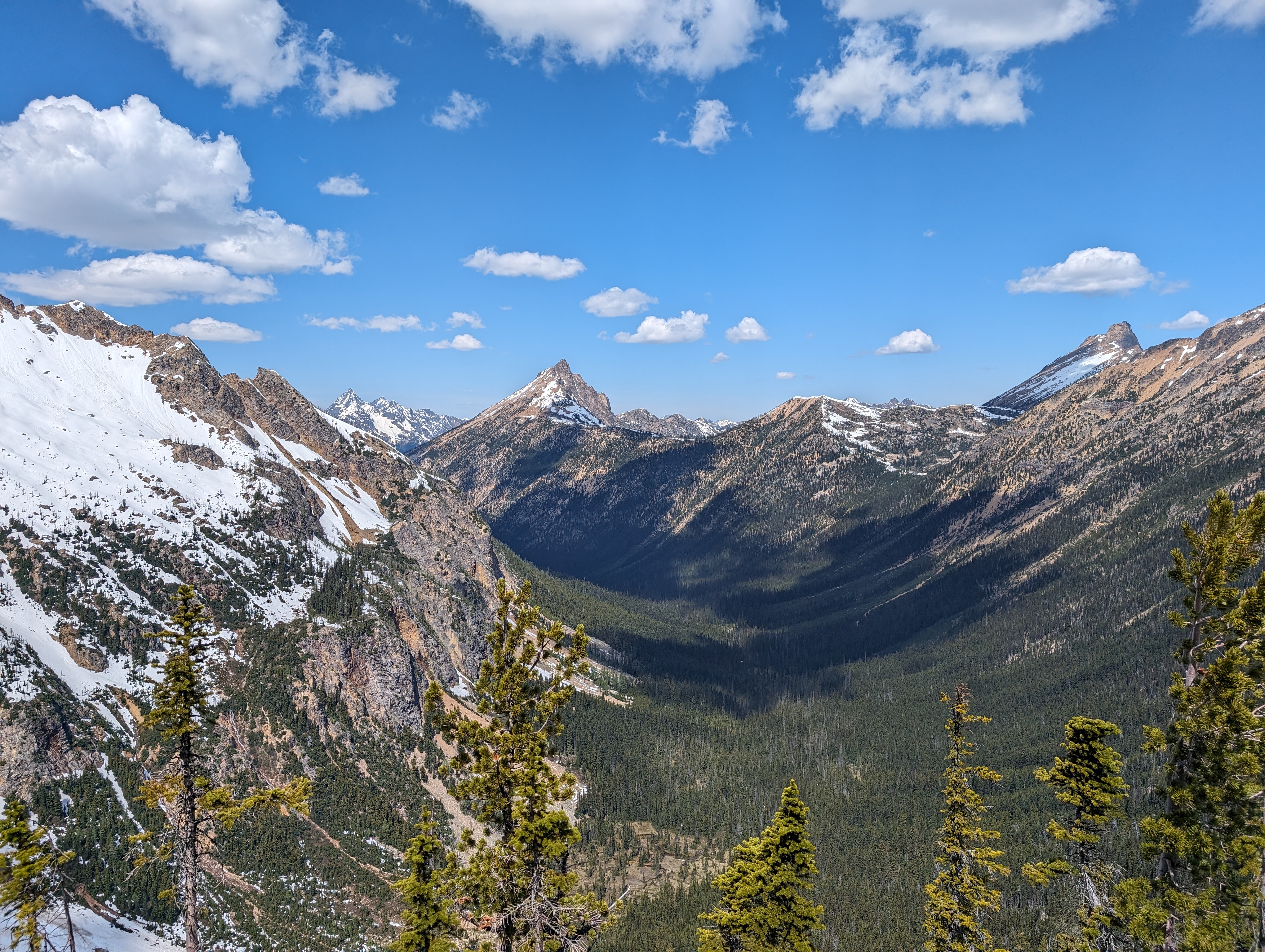
Most importantly though, it makes crossing exposed or high up places much more dangerous as snow is not the best for traction. This will come very important later on. It does give the mountains a unique look that stays for only a small amount of time.
As mentioned previously we headed back to Hart’s Pass and decide to head south straight toward Stehekin, skipping going to the border, since it was continuing to snow and we had heard it had been even worse further on from where we had gotten to.
We unfortunately found out that it was about as bad going south as well. The start of the trail wasn’t too bad but it quickly leads up higher into the mountains. Most of this was snowed in. Exposed trails with snow pack means your crossing the slopes of mountains on snow at angles of anywhere from 30 to 50 degrees. At any point it’s easy to slip leading to a nice long fall. There was actually a hiker ahead of us who had slipped on one of these and fell eighty or so feet. She was thankfully air evaced and is alive minus a few broken bones. It’s no joke.
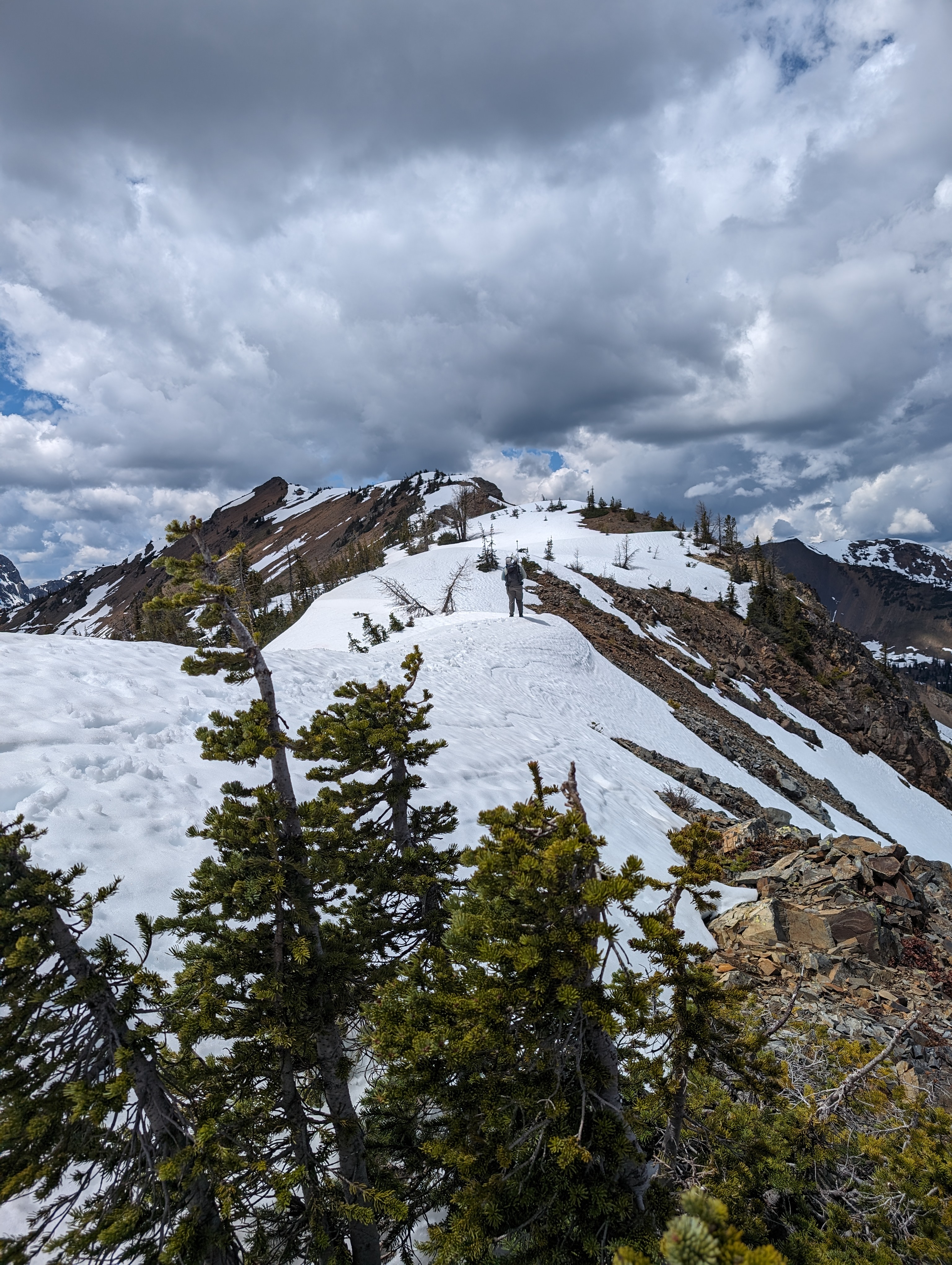
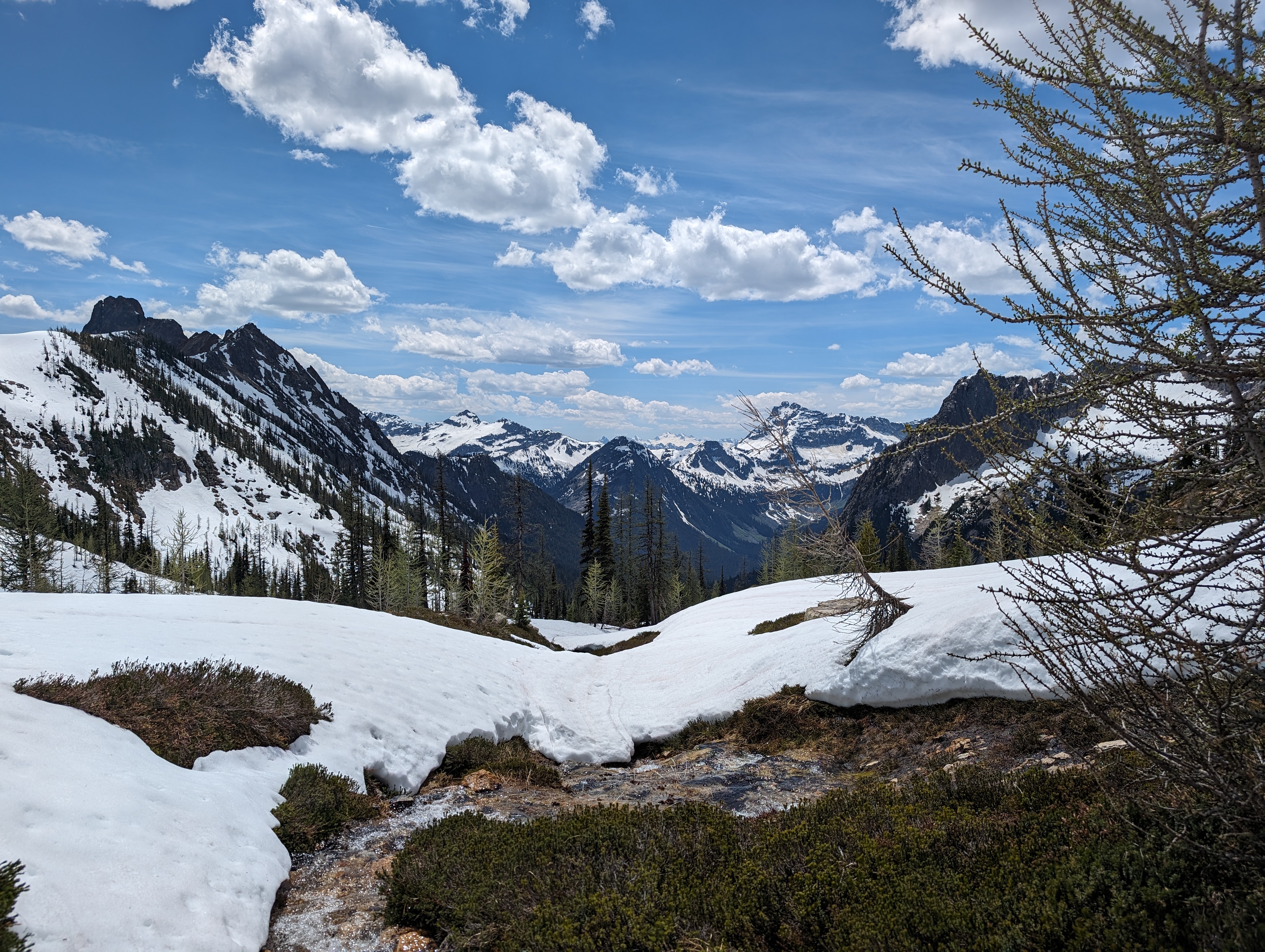
Scott crossing the ridge of a mountain. It’s hard to see but there are steep slopes on both sides.
We also had to cross over the tops of mountains covered in snow. On one of these mountain tops, I postholed so hard I got my foot stuck and was only able to free myself after digging myself out.
The worst however occured between a trail location called Granite pass and Cutthroat pass. The trail swithbacks up the side of the mountain to the top and then follows the ridge up to it’s top and then over. With the snow, this section of the trail was mostly covered. There were a few trees here and there. The snowpack at the very top is the worst. The footprints of the few that had gone before us led us up the snow to the top. At the top, the pack had two slopes, one was the one that we had come up that sloped down to the right and the other was a different slope that eventually led to the down and to the left trail. They were both steep with grades easily past fifty-five degrees or so. They both also ended right to sheer cliffs with drops of more than probably four hundred feet. Scott went first and you can probably tell what happened next. He was standing at the intersection of the two slopes and the snow gave out from under him. He started sliding down toward the edge but he was thankfully able to catch the single tree that was hanging on the cliff and arrest himself. There wouldn’t have been an air evac for Scott.
We both eventually safely made it to the trail. There was unfortunately more snow crossings waiting for us around the corner of the mountain, but we got past these. The trail eventually went downards into the river valleys that form between peaks. After twenty-five or so miles we are both now sitting at a picnic table waiting for a shuttle to take us into Stehekin. It’s a nice day.
It’s incredibly beautiful here but also incredibly dangerous. Normally, these trails are exhausting as you gain a lot of elevation and lose a lot, but the snow takes it to another level. There are probably some people who’d disagree with me but for Scott and I who don’t have a whole lot experience with the snow I think this was more than enough for both of us. We’re gonna wait a couple weeks and let some more of the snow melt. It should also be better from here on our as the trail gets generally lower past the Northern Cascades.
The distance we’ve traveled currently is about 60 miles. I’ve got some pictures below of the various sights we saw. It is undoubtadly beautiful.